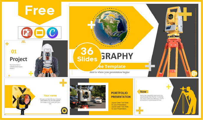
Topography Template
Topography is a geospatial discipline dedicated to the measurement, description and detailed representation of the Earth's surface, as well as its natural and man-made features. Its main objective is to generate maps and plans that provide accurate information about elevation, slopes, landforms and the location of features such as buildings, roads, rivers and vegetation. Taking all this into account, today we want to provide you with topography template, design specialized in cartography, architecture or engineering presentations.
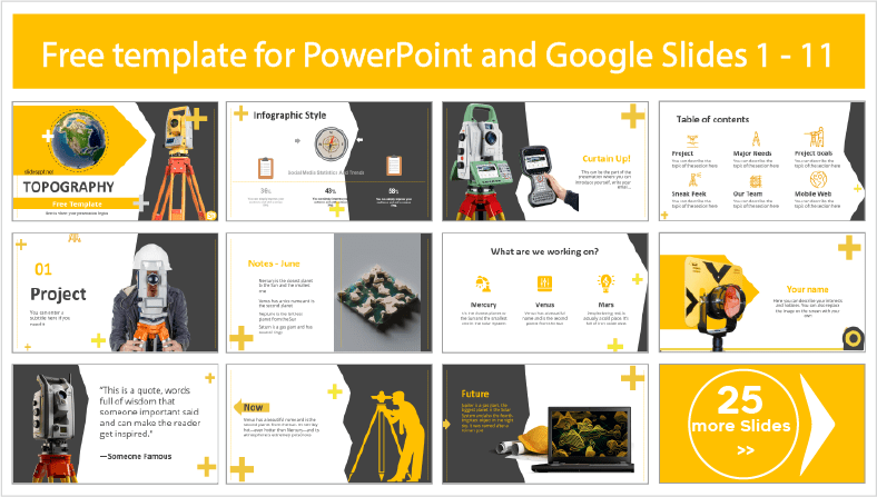
Our topography template for PowerPoint and Google Slides takes care of enhancing the visual part of your presentation with high quality images, illustrations and backgrounds. In case you need to give it an analytical touch, you can make use of its site maps, timelines and 100% editable charts. Add to all this the compatibility of its slides with the Canva platform. So now that you know everything this presentation has to offer, what are you waiting for? Download this free ppt material and just take care of customizing the content with your information.
Free Topography Template for PowerPoint and Google Slides
Main features
- 36 slides 100% editable
- 16:9 widescreen format suitable for all screens
- High quality royalty-free images
- Easy to edit layouts for presenting or printing
- Included resources: charts, graphs, timelines and diagrams
- More than 100 icons customizable in color and size
- Main font: Calisto MT
- Predominant color: Yellow
Download this template
Learning is the foundation of a bright future, and in this category of education PowerPoint templates and Google Slides themes, we are committed to it. That's why today we want to provide you with free access to unlimited download of our educational contributions for academic lessons, research projects, careers and more.